

| Pensacola Guide | Vacation | Activities | Real Estate | Restaurants | Relocation |
Pensacola Florida Maps
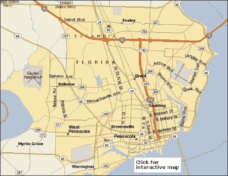
Below are several kinds of maps for the Pensacola Florida area that present several kinds of information:
1) Road Map - This is the kind of map most people are familiar with. This show roads cities and general layout of an area. Pensacola, Florida Road Map
2) Topo Map - Topo or topographic map presents the elevation of the land as contour lines with values above sea level. Pensacola Topo Map
3) Hazard Maps - This refers to FEMA- ESRI maps that indicate Historic data for:
- Hurricanes
- Tornadoes
- Hail Storms
- Floods
- Wind Storms
Pensacola Area Hazard Map
4) Hotel Map - As the suggests, this shows the location of some of the areas many hotels.
Please click on one of the links below for more information on Pensacola maps.
In addition to maps and directions you will find lodging and Vacations links that can save you time and money.